To get to the Fourth of July Canyon, take I-40 east through the Tijeras Canyon and exit at Tijeras. Take NM 337 south through the pinon and juniper-dotted hills of the Manzanos. You’ll pass small farming villages that date back to the Spanish Land Grants. When you reach the T intersection of NM 55, take a right, which takes you west and into the small town of Tajique. Once you’ve gone through Tajique, look for a sign for FS 55, a forest service road which takes you into the Fourth of July campground.
The campground itself has 24 sites, but there are no water hookups. There is a trailhead at the campground. The road is not paved but is accessible for most cars and RVs.
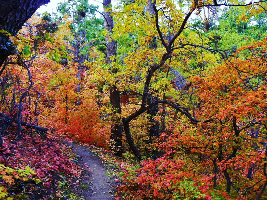
Here is the largest and densest stand of bigtooth maples to be found. They blaze red and the scrub oaks turn yellow, making for a spectacular display. Most people who go to visit take one of the trails into the forest and hike up the mountain. The grade isn’t too steep until you get closer to the top. The one-mile hiking trail is fairly easy and leads through the best part of the canyon for seeing the changing leaves. Once you reach the canyon head, you can turn around or continue on a loop that is 6.5 miles. Most trails are rated as moderate.
One spur leads to the top of the ridge where you can see the valleys below.
If you do decide to go up for the day, take water and sturdy hiking shoes. There are picnic tables with grills (bring your own kindling or charcoal). There are also restrooms. Again, there is no water, so be sure to bring your own.
The area is maintained by the Forest Service.


